
A look at how the shoreline of Boston changed over time, which partially explains why the streets of Boston is so poorly laid out.
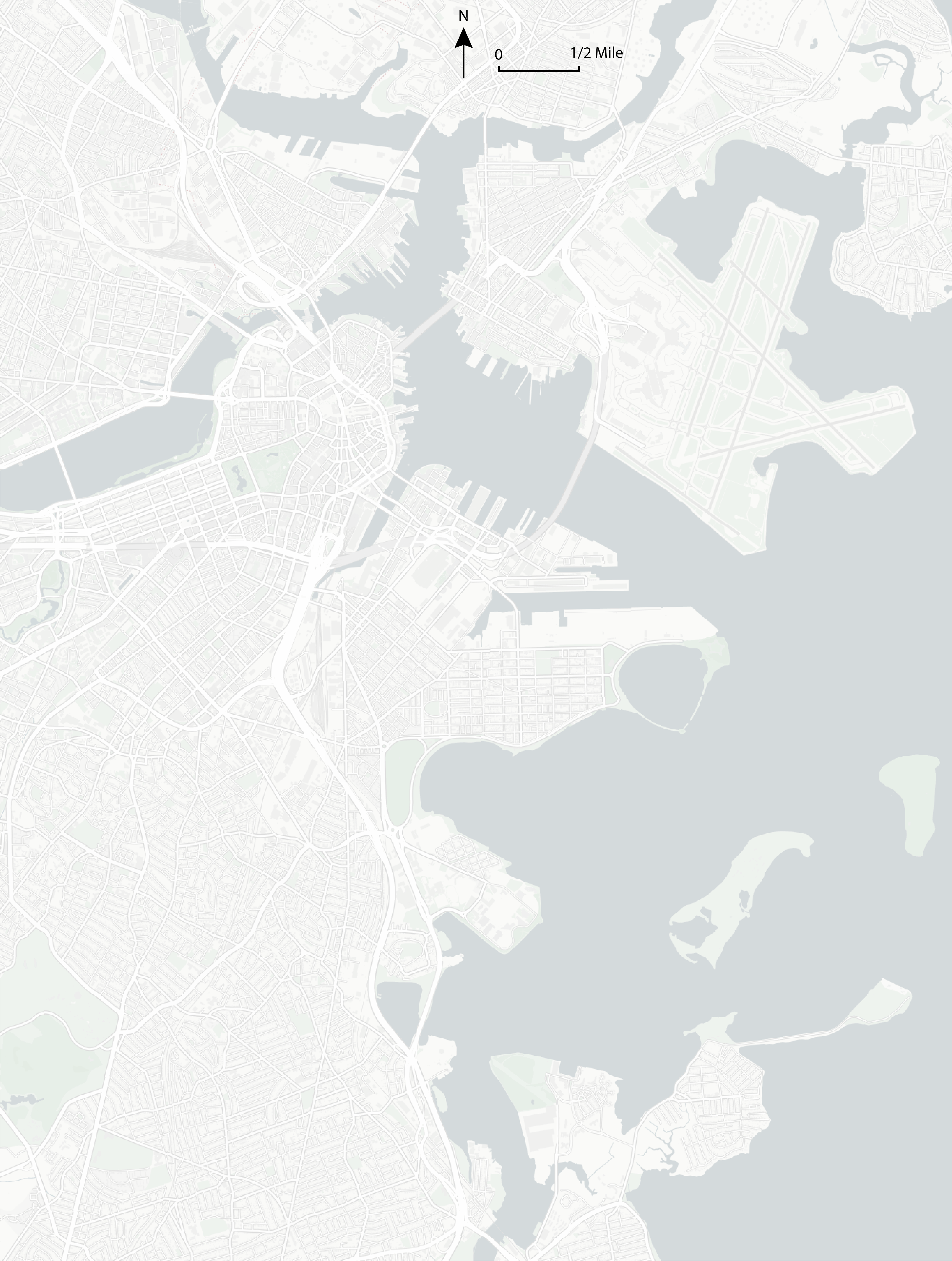
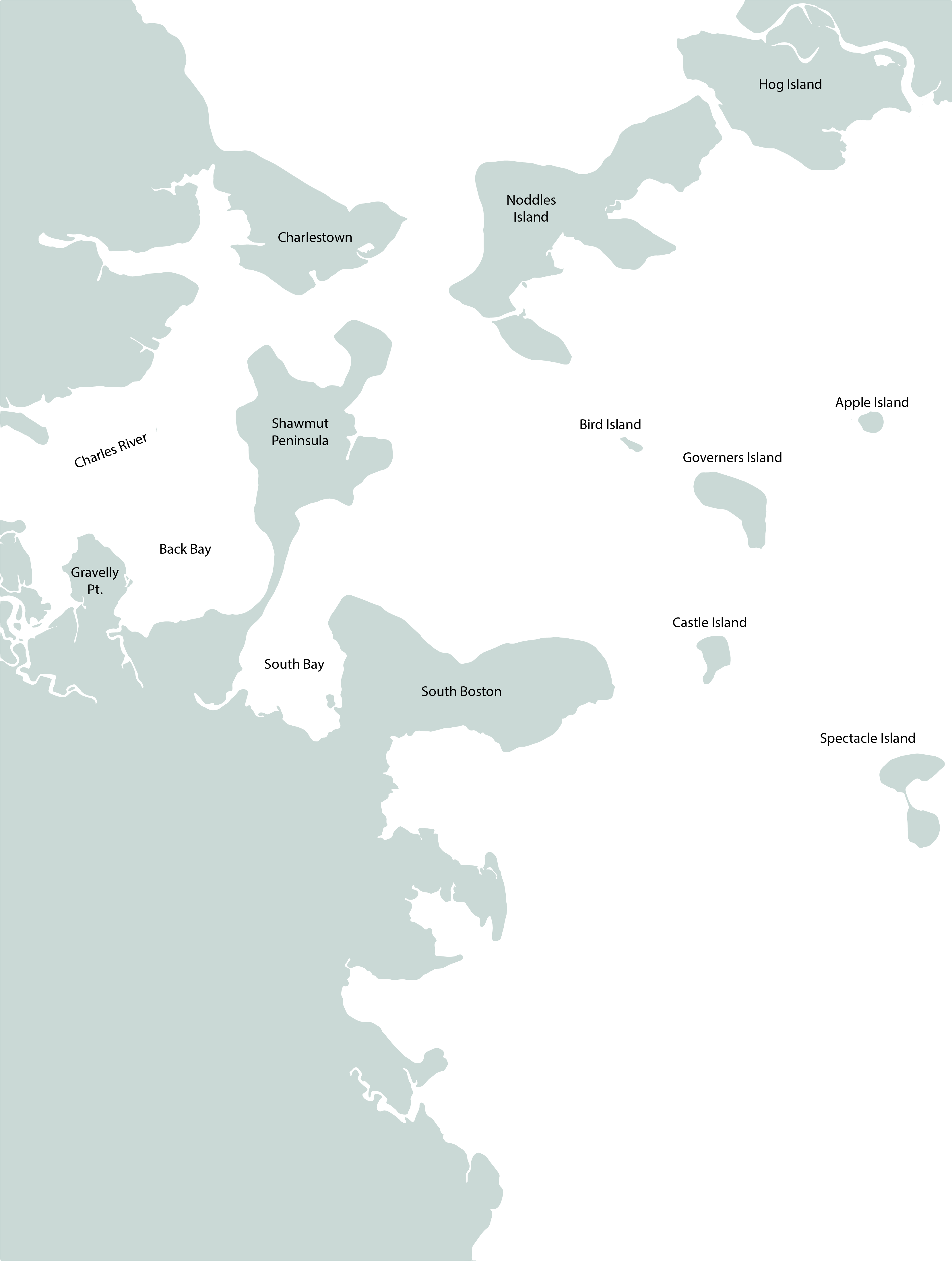
Cartography based on [1]; edited by Kenny Chou, 2024.
Credits
Inspired by Daniel Steiner’s video on Boston.
[1] Original Cartography by Herb Heidt and Eliza McClennen of MapWorks for Mapping Boston edited by Alex Krieger and David Cobb with Amy Turner. Cambridge, MA : MIT Press, 1999. Accessed via the Levanthal Map Collections.